

LidarCad
Svetlana Sandalova · Productivity
Independent analytics for this App Store listing. AppTracker is not affiliated with Svetlana Sandalova.
Chart standing · US
Screenshots
Keywords this app targets
Search terms AppTracker associates with this app — estimates, not search volume. ❝ = in the app's title; a highlighted number is its current position for that term.
Similar apps
Competitors and close alternatives, as estimated by AppTracker.
 Cartesian Capture
Karen Anderson
Cartesian Capture
Karen Anderson
 Lidar Larry
AARON MONTANO
Lidar Larry
AARON MONTANO
 PIX4Dcatch: 3D scanner
Pix4D SA
PIX4Dcatch: 3D scanner
Pix4D SA
 Make Plan 2D/3D LiDAR Scanner
Bimdiag International
1 shared topic
Make Plan 2D/3D LiDAR Scanner
Bimdiag International
1 shared topic
 MapLab Survey – GIS Measure
Sevket PARLAZ
MapLab Survey – GIS Measure
Sevket PARLAZ
 Dot3D: Precision LiDAR Scanner
DotProduct LLC
Dot3D: Precision LiDAR Scanner
DotProduct LLC
 eDrawings Pro
Dassault Systemes SolidWorks Corporation
1 shared topic
eDrawings Pro
Dassault Systemes SolidWorks Corporation
1 shared topic
 Workshop Planner: Shop Layout
Level44
Workshop Planner: Shop Layout
Level44
About
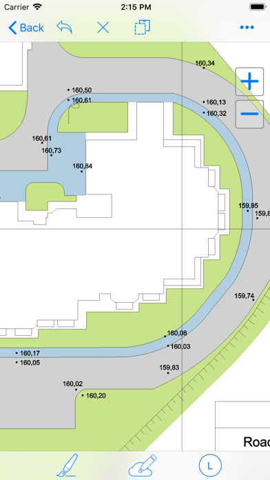
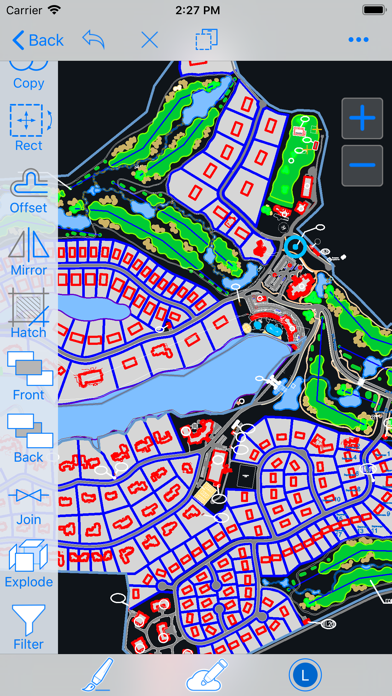
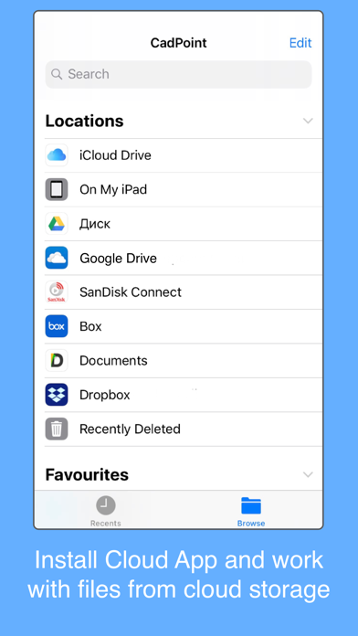
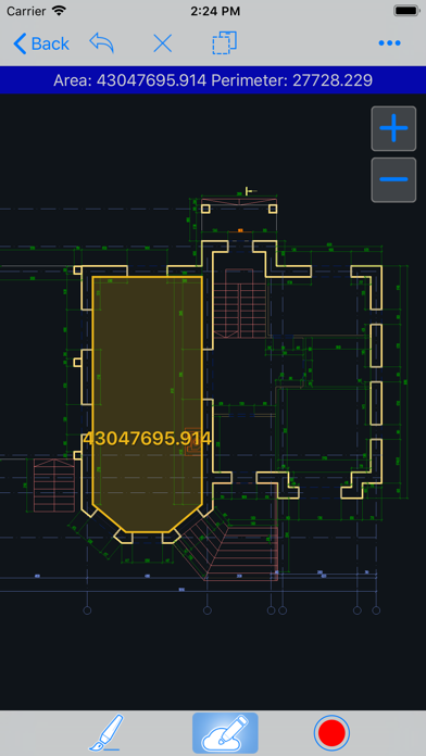
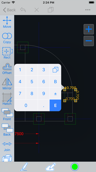
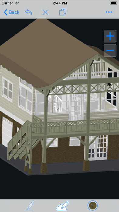
LidarCad combines CAD Editor and LiDAR Scanner into one Application. With LidarCad it is easy to estimate volumes of sand or gravel, capture point clouds, measure length, area and so on. LidarCad works with DWG/DXF files. Results can be exported to other popular formats. Scan functionality available on LiDAR-enabled devices. It includes: * Estimate cut/fill volumes using base plane * Estimate cut/fill using limited boundary * Capture point clouds * Add points with XYZ(WGS) coordinates * Define CS Origin for scan * Measure length/area Full description and manuals available on page: http://cadspace.xyz/Features/ CAD editor contains tools to create Drawings. It supports connection to your bluetooth rangefinder. Measurements transmitted directly to drawing, it is possible to set exact length for selected line, or add text with transmitted value. This is a list of supported devices: * Bosch GLM50C, GLM100C, GLM120C * Bosch PLR30C, PLR40C, PLR50C * Leica DISTO D110, D1, D2 * Leica DISTO D510, D810, S910 * Leica DISTO X3, D8 * Condtrol Vector Rangefinders For devices without LiDAR sensor full functional CAD editor available.
What's new · 1.9.10
In this version we improve volume computation for fill volumes, so you can estimate backfill volumes of trench or pit. + improve volume computation algorithm + crop function improvements - bug fixes
Details