

OsmAnd Maps Travel & Navigate
OsmAND B.V. · Travel
Independent analytics for this App Store listing. AppTracker is not affiliated with OsmAND B.V.
Chart standing · US
What changed · US
Listing changes AppTracker has observed for this app in this storefront — new versions, price moves, rating shifts, and store copy.
• Added "Terrain shadows" visualization type • Completely redesigned the "My Places" user interface, adding subfolders for Favorites and more convenient actions • Added support for Road-only maps • Expanded profile customization by adding support for all POI icons • Added bicycle width setting to avoid narrow cycleways • Added OBD-II adapter voltage widget • Improved performance for managing a large number of favorites • Added "Pause spoken audio" option to pause podcasts or audiobooks during navigation instructions
Ratings breakdown · US
The star breakdown behind this app's rating in this storefront.
In-app purchases · US
What this app sells inside itself, grouped by kind and priced for this storefront.
Screenshots
Keywords this app targets
Search terms AppTracker associates with this app — estimates, not search volume. ❝ = in the app's title; a highlighted number is its current position for that term.
Similar apps
Competitors and close alternatives, as estimated by AppTracker.
 Organic Maps・Offline Maps, GPS
Organic Maps
2 shared topics · 1 shared title word
Organic Maps・Offline Maps, GPS
Organic Maps
2 shared topics · 1 shared title word
 MAPS.ME: Offline Maps, GPS Nav
Convexity Holdings AG
1 shared topic · 1 shared title word
MAPS.ME: Offline Maps, GPS Nav
Convexity Holdings AG
1 shared topic · 1 shared title word
 CityMaps2Go Pro Offline Maps
Kulemba GmbH
3 shared topics · 1 shared title word
CityMaps2Go Pro Offline Maps
Kulemba GmbH
3 shared topics · 1 shared title word
 MapFactor Navigator - GPS Maps
MAPFACTOR, s.r.o.
2 shared topics · 1 shared title word
MapFactor Navigator - GPS Maps
MAPFACTOR, s.r.o.
2 shared topics · 1 shared title word
 Pocket Earth PRO
GeoMagik LLC
3 shared topics
Pocket Earth PRO
GeoMagik LLC
3 shared topics
 Pocket Earth Maps
GeoMagik LLC
2 shared topics · 1 shared title word
Pocket Earth Maps
GeoMagik LLC
2 shared topics · 1 shared title word
 Oslo Offline Map and Travel Trip Guide
OFFLINE MAP TRIP GUIDE LTD
2 shared topics · 1 shared title word
Oslo Offline Map and Travel Trip Guide
OFFLINE MAP TRIP GUIDE LTD
2 shared topics · 1 shared title word
 Mapy.com: Offline Maps & GPS
Seznam.cz a.s.
2 shared topics · 1 shared title word
Mapy.com: Offline Maps & GPS
Seznam.cz a.s.
2 shared topics · 1 shared title word
About
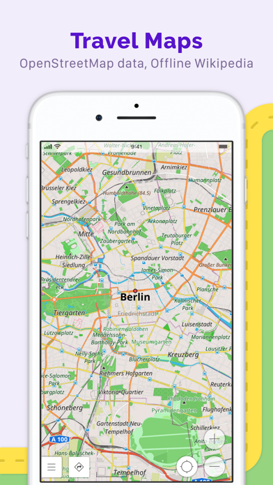
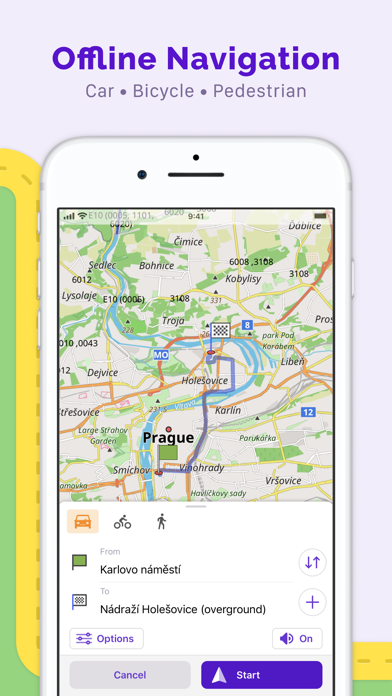
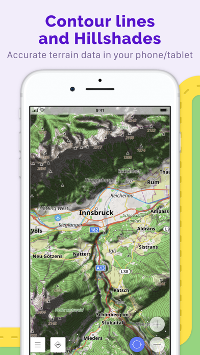
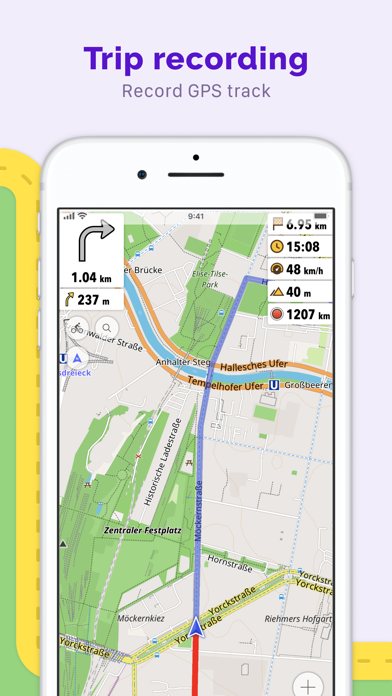
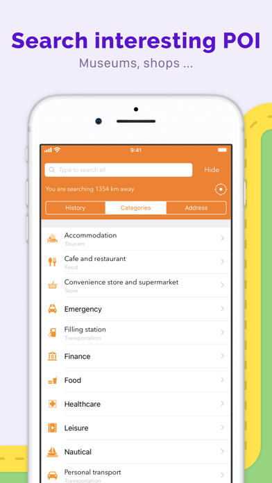
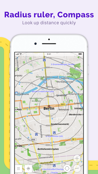
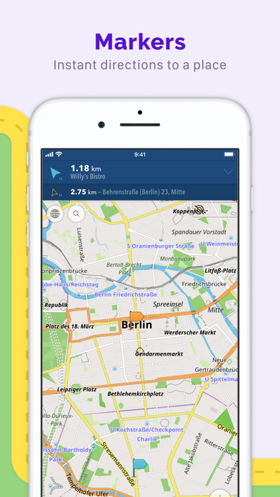
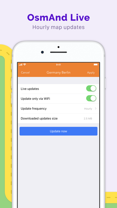
OsmAnd is an offline maps and navigation app for people who want reliable guidance, detailed maps, and full control over their routes. Download complete maps by country or region, search by address, place, or coordinates, and navigate with turn-by-turn voice guidance — even without internet access. With OsmAnd, you can: · Navigate offline for driving, cycling, walking, hiking, and more · Plan routes with intermediate stops and automatic rerouting · Use detailed OpenStreetMap-based maps with POIs, Favorites, and customizable overlays · Display, record, import, and navigate GPX tracks · Explore foot, hiking, and bike paths included in offline maps · Add contour lines and hillshading for better terrain awareness · Get lane guidance, street names, ETA, and optional screen alerts · Keep maps on your device for dependable use at home, abroad, and in remote areas OsmAnd is built for everyday navigation, travel, and outdoor exploration. It combines offline reliability with powerful route planning, detailed map data, and advanced tools for users who want more than a basic navigation app. Built on OpenStreetMap and developed as an open-source project, OsmAnd is privacy-friendly and gives you control over your data and app access. Maps are available worldwide and updated regularly, with optional hourly updates through Live Updates feature. Terms of Use: https://osmand.net/docs/legal/terms-of-use Privacy Policy: https://osmand.net/docs/legal/privacy-policy
What's new · 5.4.5
• Added "Terrain shadows" visualization type • Completely redesigned the "My Places" user interface, adding subfolders for Favorites and more convenient actions • Added support for Road-only maps • Expanded profile customization by adding support for all POI icons • Added bicycle width setting to avoid narrow cycleways • Added OBD-II adapter voltage widget • Improved performance for managing a large number of favorites • Added "Pause spoken audio" option to pause podcasts or audiobooks during navigation instructions
Details