

FlyNear: Flight Tracker & Maps
Daniel Nohr · Navigation
Independent analytics for this App Store listing. AppTracker is not affiliated with Daniel Nohr.
Chart standing · US
In-app purchases · US
No in-app purchases.
Screenshots
About
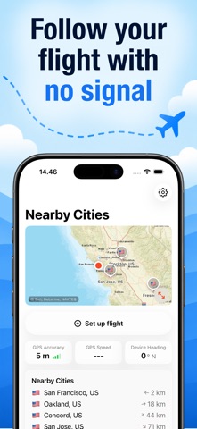
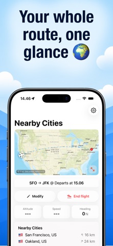
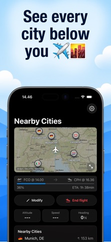
Know what's below you, even at 35,000 ft with no signal. FlyNear is the offline flight companion for curious passengers. Set up your route, follow your plane across a world map that works without internet, and discover the cities passing beneath you. WHY FLYNEAR • Offline-first world maps covering 10,000+ cities and 4,500+ airports, with no signal and no roaming • Live flight progress with departure times, arrival times, and ETA • Nearby cities with live distance and bearing as you fly • GPS accuracy, speed, and heading at a glance • Full route view before departure and after arrival • Dark mode map dimming for night flights BUILT FOR Frequent flyers, window-seat geographers, and anyone who has ever wondered what city that is down there. We read every piece of feedback: hello@nohrgroup.com Map data © Esri & contributors. Data © OpenStreetMap contributors.
Details