

Old Edinburgh
JOHN PAUL REID · Reference
Independent analytics for this App Store listing. AppTracker is not affiliated with JOHN PAUL REID.
Chart standing · US
In-app purchases · US
No in-app purchases.
Screenshots





About
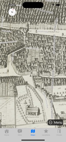
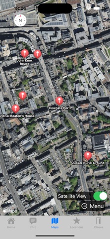
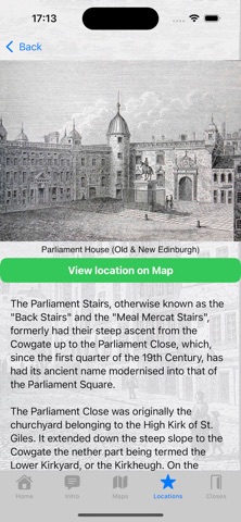
With this application you can view historic maps of old Edinburgh with pin markers allowing you to get more information on some of the buildings that once stood there: their history and illustrations of what they looked like. The application is free and there are no adverts. The images and historic maps in this application are installed locally so no internet connection is required once the app has been installed. The local images and map tiles are not large and won't take up much space on your phone. If you are located in Edinburgh, you will be able to view your location on the maps to better guide you through the Closes and Wynds! Two historic maps are presented in this application and have been reproduced with the kind permission of the National Library of Scotland: The William Edgar 1765 town map of Edinburgh and the James Gordon of Rothiemay's 1647 plan of Edinburgh. A selection of images courtesy of the City of Edinburgh Council libraries (Capital Collections) are also included. Many of these images are by the Scottish artist James Skene.
What's new · 1.2
Improved the captions on the images.
Details