

Paris Subway Map
Yaroslav Mykolaienko · Navigation
Independent analytics for this App Store listing. AppTracker is not affiliated with Yaroslav Mykolaienko.
Chart standing · US
In-app purchases · US
No in-app purchases.
Screenshots



About
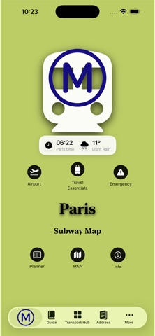
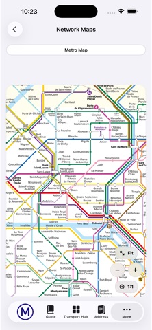
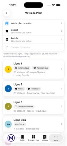
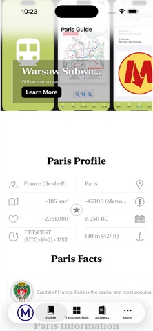
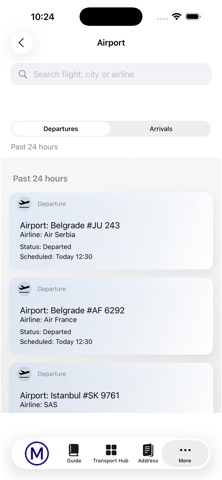
Paris Subway Map is a clean, offline-friendly transport companion for exploring Paris with confidence. Offline Metro Map • Fast, zoomable Paris Metro network map that works without internet • Simple “fit/zoom” controls for quick reading on the go Paris Public Transport at a glance RATP Metro • RER • Buses • Trams • SNCF Transilien Offline Planner • Pick a start and end station and get an estimated route with transfers and approximate travel time (works offline) Transport Hub (practical guides) • Rail & Train Stations: main Paris termini and how to connect • Airport Connections: CDG, Orly and city transfers, ticket basics • Central Bus Terminal: coach station info and getting there • Taxi & Ride Options: official taxis vs ride-hailing (VTC), pickup tips • Rentals & Shared Mobility: bikes, car-share, scooters—what’s allowed and how to use it Travel Essentials • Paris Guide: quick orientation and city basics • Emergency & Help: one-tap access to important numbers (where supported) Address Book • Save places and addresses you don’t want to forget • Keep your personal list ready for your next trip Airport screen • Browse recent arrivals/departures and search by flight/city/airline (internet required) Designed with a minimal interface, large tap targets, and quick access to the info you actually need when you’re on the move. Disclaimer: This app is an independent guide and is not affiliated with RATP, SNCF, Île-de-France Mobilités, or any transport operator.
What's new · 3.0
• New Transport HUB with practical guides: Rail & Train Stations, Airport Connections, Central Bus Terminal, Taxi & Ride Options, and Rentals & Shared Mobility • Improved offline route planner with clearer transfer steps and travel-time estimates • Updated Paris Emergency & Help page with quick-call numbers • New Address Book to save places and addresses for your trip • Smoother map experience: faster zoom, better “Fit” behavior, and UI polish across the app • Performance improvements and bug fixes
Details