

Minnesota Subway Map
Yaroslav Mykolaienko · Navigation
Independent analytics for this App Store listing. AppTracker is not affiliated with Yaroslav Mykolaienko.
Chart standing · US
What changed · US
Listing changes AppTracker has observed for this app in this storefront — new versions, price moves, rating shifts, and store copy.
Explore a refreshed home screen and easier trip planning. Set your starting point and destination from station and bus stop cards, and search stops by route. Discover separate photo, attraction, audio guide and 1–7 day itinerary sections. Check sunrise, sunset and daylight duration for your chosen date. Journey times remain estimates.
Screenshots






About
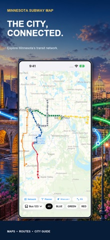
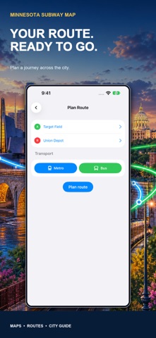
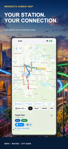
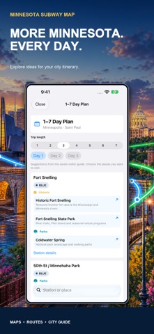
Make more of Minnesota, from your first airport connection to your next downtown discovery. Minnesota Subway Map brings the Twin Cities rail network, bus stops, trip planning and city guide together in one place. EXPLORE MINNESOTA TRANSIT Explore METRO Blue and Green light rail, bus rapid transit and local bus routes across the Twin Cities. Plan connections between MSP Airport, Target Field, downtown and beyond. Find stations and transfers on the interactive map, follow colour-coded routes, and search stops by name or line. Use transport filters to focus on your journey and keep the saved network map ready when you need it. PLAN YOUR NEXT RIDE Choose your starting point and destination in the route planner, or set them directly from station and bus stop cards. Search stops by name or route, filter transport types and include buses when planning your journey. Route times are estimates, so allow extra time for waiting, transfers and changes in service. DISCOVER MORE THAN YOUR DESTINATION Find places to explore in the Minnesota guide, browse photos and attractions, and listen to spoken descriptions using the audio guide. Pick a 1–7 day itinerary for ideas drawn from the places in the guide. Whether you are visiting for a weekend or exploring your own city, keep your next stop close at hand. USEFUL TOOLS FOR YOUR STAY Check sunrise, sunset and daylight duration for a date you choose. Explore airport guidance, emergency help and travel tools, and keep useful places in the address book. Move between the map, route planner and guide as your day takes shape. MAKE THE MOST OF MINNESOTA Connect your transport plans with places you want to discover. Explore ideas around Minneapolis, Downtown, museums, parks and the waterfront using the city guide. Find airport guidance, useful travel tools and saved addresses for your day in Minnesota. Saved transport data supports route planning; online maps and connected services require internet access. Timings are approximate and are not a live arrival guarantee. Check current service information with the transport operator before travelling. This is an independent travel app and is not affiliated with Metro Transit or the airport.
What's new · 3.1
Explore a refreshed home screen and easier trip planning. Set your starting point and destination from station and bus stop cards, and search stops by route. Discover separate photo, attraction, audio guide and 1–7 day itinerary sections. Check sunrise, sunset and daylight duration for your chosen date. Journey times remain estimates.
Details