

Topo Maps 2
Mappendix Limited · Navigation
Independent analytics for this App Store listing. AppTracker is not affiliated with Mappendix Limited.
Chart standing · US
What changed · US
Listing changes AppTracker has observed for this app in this storefront — new versions, price moves, rating shifts, and store copy.
Price & rating history · US
Reconstructed from the listing changes AppTracker has observed in this storefront. A field is charted once it has changed more than once, and each line starts at the value it moved from.
Average rating · ★ 4.16 now · 4 changes on record
Ratings breakdown · US
The star breakdown behind this app's rating in this storefront.
In-app purchases · US
What this app sells inside itself, grouped by kind and priced for this storefront.
Screenshots



About
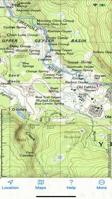
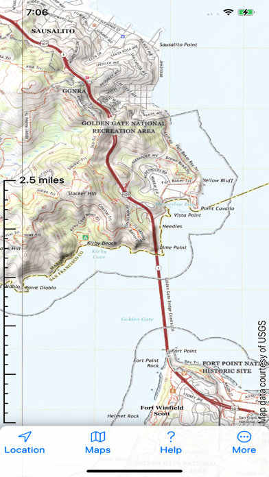
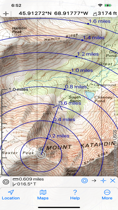
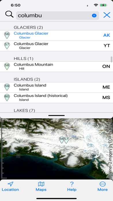
Topographic maps and satellite imagery for the United States and Canada from the US Geological Survey, US Forest Service and Natural Resources Canada in 2D and 3D. No network connection needed once maps are installed. Record your track, and share GPX files with other apps and devices. Hybrid map mode combines topo with imagery. Panorama mode shows silhouette of what's visible from anywhere on the map. Draw routes on the map; plot graphs of speed and altitude. "Fly" along routes in 3D. Offline search. Show your geolocated photos on the map. If you have our original Topo Maps or Topo Maps for iPad app installed, its maps will be shared with this app. End User License Agreement: https://www.apple.com/legal/internet-services/itunes/dev/stdeula/
What's new · 2.11
New features include: * While drawing routes, the pencil can now snap to roads and trails on the map. * The path actions menu has a new "add elevations" action. * In 3D mode, you can now rotate the map with a two-finger gesture in the obvious way. * A new Map Appearance setting lets you determine whether, in 3D mode, the app tries to hide waypoints, tracks and routes behind any foreground terrain.
Details