

KrugerGuide
Kruger Guide Proprietary Limited · Travel
Independent analytics for this App Store listing. AppTracker is not affiliated with Kruger Guide Proprietary Limited.
Chart standing · US
Ratings breakdown · US
The star breakdown behind this app's rating in this storefront.
In-app purchases · US
What this app sells inside itself, grouped by kind and priced for this storefront.
Screenshots




Keywords this app targets
Search terms AppTracker associates with this app — estimates, not search volume. ❝ = in the app's title; a highlighted number is its current position for that term.
Similar apps
Competitors and close alternatives, as estimated by AppTracker.
 KrugerExplorer
Explorer Apps
1 shared topic
KrugerExplorer
Explorer Apps
1 shared topic
 Kruger Park - Safari Spotter
Leighton Friend
1 shared topic
Kruger Park - Safari Spotter
Leighton Friend
1 shared topic
 Kruger Safari: Map & Guide
Tjarko Kwee
Kruger Safari: Map & Guide
Tjarko Kwee
 Kruger Nav
Robert Sutcliffe
Kruger Nav
Robert Sutcliffe
 Kruger Navigator
DeeBee Dicks
1 shared topic
Kruger Navigator
DeeBee Dicks
1 shared topic
 Kgalagadi Safari: Map & Guide
Tjarko Kwee
Kgalagadi Safari: Map & Guide
Tjarko Kwee
 Tracks4Africa Guide
Tracks4Africa Enterprises (Pty) Ltd
2 shared topics
Tracks4Africa Guide
Tracks4Africa Enterprises (Pty) Ltd
2 shared topics
 Sasol eBirds Kruger Park
mydigitalearth.com
Sasol eBirds Kruger Park
mydigitalearth.com
About
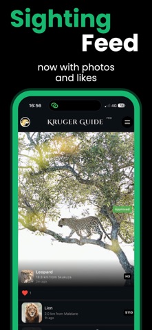
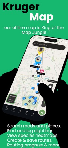
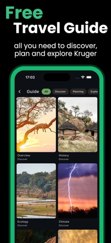
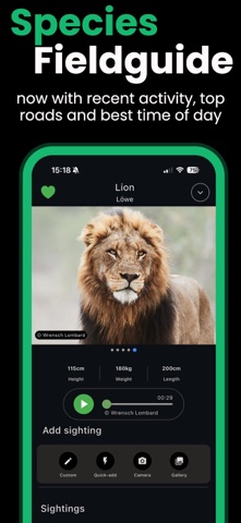
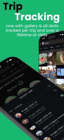
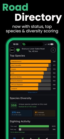
The only all-in-one Guide to Kruger National Park is packed with unique features and content to help you make the most of your time in the park. Main features: - High-resolution, searchable offline map with routing from your live location. - Offline routing - Road status reports - Camp statusses - Free Kruger travel guide section with all the need-to-know information. - All roads are rated and enriched with recent sightings. - Over 150 places marked and photographed. - Background data backup. - Over 400 species profiles that are searchable and filterable to help you identify each - Low-data sightings board with 14-day history to help you find hotspots - Over 2000 stunning images of species and places in the park - Keep track of your trip and lifetime stats with ease Convenient, easy to use, and always accessible: - Download, install and explore. No additional downloads, add-ons, or connectivity is required for main functionality - Our convenient countdown widget on the home screen means you always know when the gates are opening or closing. - Phone numbers for camps, gates, and other park services are all click-to-call. - Mapped routes and distances between gates and camps. - Personalise your trip and profile with an image of your choice. A stunning Free travel guide that covers all you need to know: - The Park: Park history, ecology, climate, conservation. - Planning: When to visit, Where to stay, How to book, How to get to the park, and packing tips. - Your trip: How to be your own guide, What to do, Visiting Kruger with Kids and food available in the park. - Safety: Rules, Malaria, Safety Tips and what to do in emergencies. - Phone numbers and connectivity. - Gate times. Maps so you always know where you are: - No more worries about getting lost. Our park map works entirely offline and shows you where you are. - The map is searchable and filterable, showing you where you are and what’s nearby. - Filter our best-in-class park map based on the types of points of interest or their amenities - Over 300 places mapped and described. - Get to know more about your next destination by tapping the place. All park roads rated: - We’ve described and rated all roads to ensure you can easily plan your routes. - All the park roads have been linked to their points of interest so you can quickly get to know the area. - Want a taster of what you could see on the roads? We’ve driven them all and added photos from our adventures to each road. Easy-to-follow offline routes: - To help you decide where to drive next, we’ve included 70+ turn-by-turn, reversible routes with interactive maps. - Reverse any route, its map and its step with the press of a button. - Easily bookmark your current route to display it on the main map. Get to know the animals: - Our lists are currently searchable in English, Afrikaans, Dutch, French, German and Spanish. - Over 400 species with photos, descriptions, and more. - Check off animals you’ve spotted using a quick add option, or leave yourself a note about the sighting. Birding for everyone: - Our tailored list of 300 beginner and intermediate birds is filterable based on colours and key features to make it fun and easy. - Need more help identifying a tricky bird? Use the sighting heatmap to check if you’re in an area where the bird is likely to be. Track your stats: Do you like to track your stats? We’ve got you covered with info on your trips, sightings, check-ins, camps visited, roads driven, and more. - The app tracks these per trip and over your lifetime of visits to the park. - We backup your data in the cloud so you never have to worry about losing your sightings or other stats. - You can now mark species, places or roads as your favourites Sightings board: - If you have some coverage, check out the community sightings board. - This feature will also enrich the routes in your area with sightings of the day. - Sightings from the last 14 days enrich all roads and places.
What's new · 3.0.0
You asked and we answered with Version 3: - Create and save custom multi-stop routes, all offline - Add photos to your sightings - Share your own and like community sightings - Species sighting heatmaps added to main map - Best roads, most likely time of day and recent activity stats added to species - Most logged species, species diversity and ranking added to roads - Stats tracking redesigned to seamlessly switch between lifetime and trip stats - Photo gallery added to trips - Community photos added to species and roads - Full app UI redesign - Blog post integration added to give you weekly Kruger content - Trip countdown added to the home screen - Community poll feature added - first poll already live
Details