

MOITFE Fire Alert
National Information Technology Center, Government of Nepal · Productivity
Free
Independent analytics for this App Store listing. AppTracker is not affiliated with National Information Technology Center, Government of Nepal.
Chart standing · US
Not currently charting in this storefront.
In-app purchases · US
No in-app purchases.
Screenshots
About
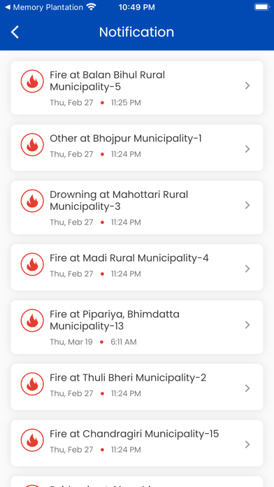
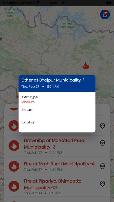
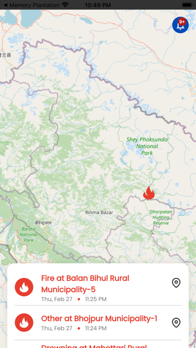
It's a satellite-based wildfire activity tracking map that tracks fire location and progress, as well as monitoring infrastructure and impacts in remote areas. When a fire is detected, an alert or notice is delivered to the app, which assists the community and society in staying safe from fire. Natural resource managers, public entities, and anyone living or working in wildfire-prone areas will benefit from this software.
Details
ReleasedNov 2022
UpdatedNov 2022
Version1.0
Size27.9 MB
RequiresiOS 11.0 or later
Age rating4+
LanguagesEnglish
PriceFree
Categories
Bundle IDcom.moitfekarnali.fireAlert