

Altitude Checker
Takafumi AMANO · Lifestyle
Independent analytics for this App Store listing. AppTracker is not affiliated with Takafumi AMANO.
Chart standing · US
What changed · US
Listing changes AppTracker has observed for this app in this storefront — new versions, price moves, rating shifts, and store copy.
Price & rating history · US
Reconstructed from the listing changes AppTracker has observed in this storefront. A field is charted once it has changed more than once, and each line starts at the value it moved from.
Average rating · ★ 4.00 now · 2 changes on record
Ratings breakdown · US
The star breakdown behind this app's rating in this storefront.
In-app purchases · US
What this app sells inside itself, grouped by kind and priced for this storefront.
Screenshots

About
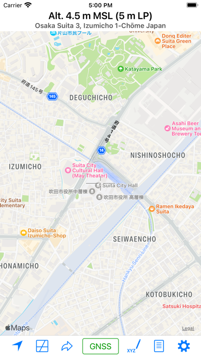
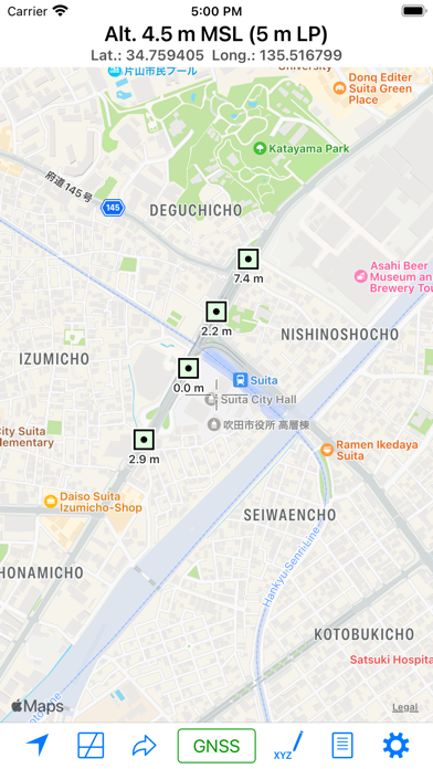
This app is a tool for measuring altitude, either at your current location or at arbitrary points. The app offers two measurement modes: Map Measurement Mode and GNSS Mode. Map Measurement Mode: When you launch the app, it enters this mode. In Map Measurement Mode, the app measures the altitude of the center position of a map using a digital elevation model (DEM). The app utilizes SRTM30 V2 data for altitude measurements. If you enable the “Use GSI’s API” switch in the settings, it can also make use of GSI’s API to obtain the altitude of Fundamental Geospatial Data (FGD) in Japan. GNSS Mode: Tapping on the “Get GNSS Altitude” button activates the GNSS Mode. In this mode, altitude is calculated using GNSS data. For users with an iPhone 3GS or earlier, the returned value represents ellipsoidal height. Settings: - Unit: Choose between Meter and Foot for altitude measurements. - Special Datum: Select from Default (MSL), A. P. (Arakawa), Y. P., O. P., K. P., S. P., A. P. (Yoshinogawa), T. P. W., and B. S. L. - Coordinate System: Opt for “Japan Plane Rectangular Coordinate System” instead of Latitude-Longitude. - Display Address: Toggle this switch to display the address of the current location. When it’s off, coordinates are shown instead of an address. - Use GSI’s API: As mentioned previously. - Use GSI Tiles: Choose to use GSI tiles instead of Apple Maps. - Update to Map Coordinates: Automatically update coordinates on the “Move Anywhere” page to the current position on the maps. - Use Light Mode for Maps: Maps are displayed in Light Mode, even when Dark Mode is enabled. About URL Scheme: - Format: alt://lat/long - lat: Latitude (double value) - long: Longitude (double value) If the latitude is not within the range of ±90 degrees, it will be replaced with the latitude and the longitude.
What's new · 3.1
- Adjusted timeout settings. - Added new datasources.
Details