

Earthquake Report
Manfred Breede · Utilities
Independent analytics for this App Store listing. AppTracker is not affiliated with Manfred Breede.
Chart standing · US
Ratings breakdown · US
The star breakdown behind this app's rating in this storefront.
In-app purchases · US
No in-app purchases.
Screenshots


About
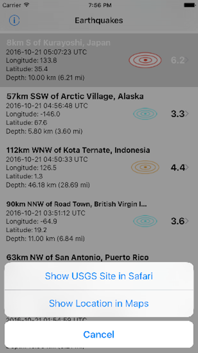
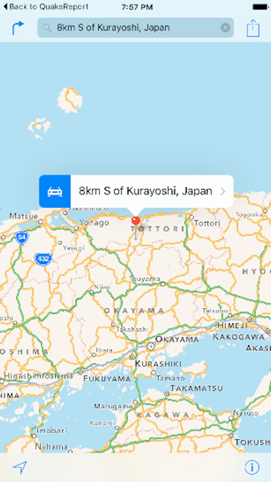
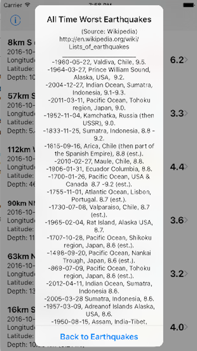
This app downloads the United States Geological Survey (USGS) data on worldwide 2.5 magnitude and above earthquake activities of the past 7 days. Every time the table view is pulled down, a "Pull to Refresh" control adds the most recent earthquake(s) to the list of earthquakes. The earthquakes list includes the location, date, time, latitude, longitude and earthquake depth data. A map view can be generated for each earthquake listed in the table view by entering its latitude and longitude coordinates on a 2nd view. The map will then be scaled to the general earthquake region, pin-pointing the epicenter of the quake with of a drop pin. To evaluate the relative severity of earthquakes a list of worst earthquakes in history is provided on a third view. "Image courtesy of the Image Science & Analysis Laboratory, NASA Johnson Space Center" Roll-Frame:148-22727.
What's new · 2.2
Compatibility with latest iOS version.
Details