

AIS Maps: Marine & Lake charts
Flytomap · Navigation
Independent analytics for this App Store listing. AppTracker is not affiliated with Flytomap.
Chart standing · US
Ratings breakdown · US
The star breakdown behind this app's rating in this storefront.
In-app purchases · US
What this app sells inside itself, grouped by kind and priced for this storefront.
Screenshots

About
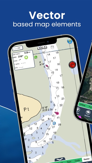
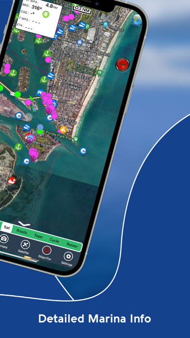
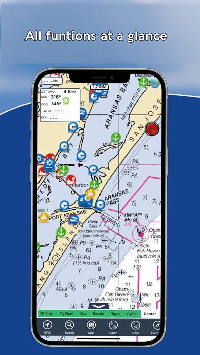
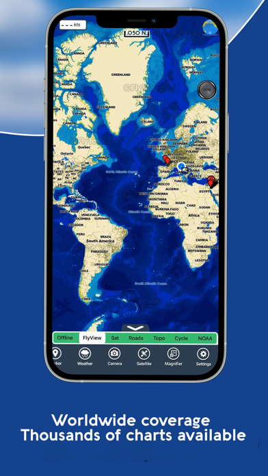
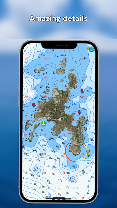
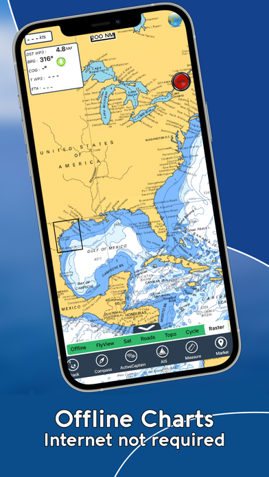
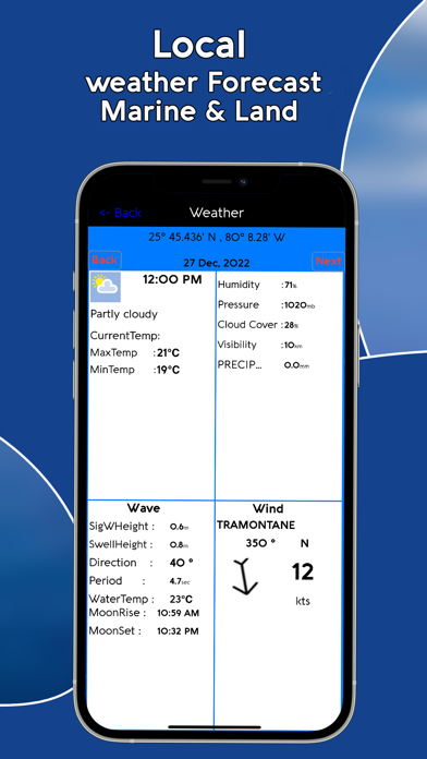
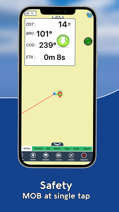
Discover a new perspective on the world with AIS Maps: Marine and Lakes Charts by FlyToMap. Our app is meticulously crafted, offering a seamless blend of aesthetic appeal and functionality. Witness the world in intricate detail, thanks to vector-based map elements that maintain their crispness even when zoomed in, and experience smooth panning, tilting, and rotating for a consistently immersive view. Unlock the full potential of FlyToMap with our in-app purchase business model, providing access to a comprehensive array of maps, including Marine, Travel, Parks, and Lakes. All these maps are available for offline use at reasonable costs. Key Features: Live AIS Experience real-time map views of your boat and nearby vessels worldwide without the need for an AIS receiver—just your mobile device. Various icons denote different vessel categories, and selecting a target reveals detailed information such as name, MMSI, IMO, call sign, status, speed, heading, coordinates, distance from your GPS location, and more. Free Features and Functions: • Latitudes and Longitudes for easy navigation • Direct search for your favorite points • Intuitive zoom, rotate, and pan with a touch • Quick object information with vector technology • GPS heading for precise navigation • Distance measurement tool for easy calculations • Route planning with real-time speed, distance, and bearing updates • Magnifying lens for detailed information • Unlimited tracks, markers, geo-tagged photos, and records • Shareable via email and visible on Google, Flytomap Viewer, and KMZ format • Depth contours selection • Background functionality for multitasking • Optimized battery usage • Local marine weather forecasts at your fingertips Marine Maps: Explore detailed Electronic Nautical Charts (ENC) with information on coastline, anchoring areas, fishing spots, restricted areas, obstructions, rocks, buoys, beacons, lights, depth contours, spot soundings, and more. Lake Maps: Access high-quality lake maps featuring depth contours, boat ramps, fishing spots, trails, roads, and railways information. Park Maps: Discover advanced electronic charts with hiking, biking, and equestrian trails, as well as points of interest like campgrounds, visitor centers, lookout points, eateries, ranger stations, picnic areas, boat/canoe ramps, and parking areas. Travel Maps: Explore the most captivating tourist areas, combining sea and land information for a comprehensive travel experience. Stay connected with us: • Twitter: @flytomap • Web: flytomap.com • Facebook: facebook.com/flytomap Embark on a journey of exploration and navigation like never before with AIS Maps: Marine and Lakes Charts by FlyToMap.
What's new · 6.4.6
Updated for latest devices.
Details