

GeoPosition
Thomas Mayr · Navigation
Independent analytics for this App Store listing. AppTracker is not affiliated with Thomas Mayr.
Chart standing · US
What changed · US
Listing changes AppTracker has observed for this app in this storefront — new versions, price moves, rating shifts, and store copy.
Screenshots
Keywords this app targets
Search terms AppTracker associates with this app — estimates, not search volume. ❝ = in the app's title; a highlighted number is its current position for that term.
Similar apps
Competitors and close alternatives, as estimated by AppTracker.
 MyLoc - GPS Coordinates
Apptojo AB
2 shared topics
MyLoc - GPS Coordinates
Apptojo AB
2 shared topics
 My GPS Coordinates Pro
TappiApps
1 shared topic
My GPS Coordinates Pro
TappiApps
1 shared topic
 GPS Coordinates Finder Pro
Eren Ezgu
2 shared topics
GPS Coordinates Finder Pro
Eren Ezgu
2 shared topics
 GPS Coordinates Locator Map
ANKAGIS YAZILIM ANONIM SIRKETI
2 shared topics
GPS Coordinates Locator Map
ANKAGIS YAZILIM ANONIM SIRKETI
2 shared topics
 Coordinates Pro
appdoctors UG
2 shared topics
Coordinates Pro
appdoctors UG
2 shared topics
 UTM Position Mailer
Viatact AB
1 shared topic
UTM Position Mailer
Viatact AB
1 shared topic
 Coordinates – GPS Converter
Mapnitude Company Limited
1 shared topic
Coordinates – GPS Converter
Mapnitude Company Limited
1 shared topic
 GeoConverter - GPS Coordinates
Hossam Hamouda
GeoConverter - GPS Coordinates
Hossam Hamouda
About
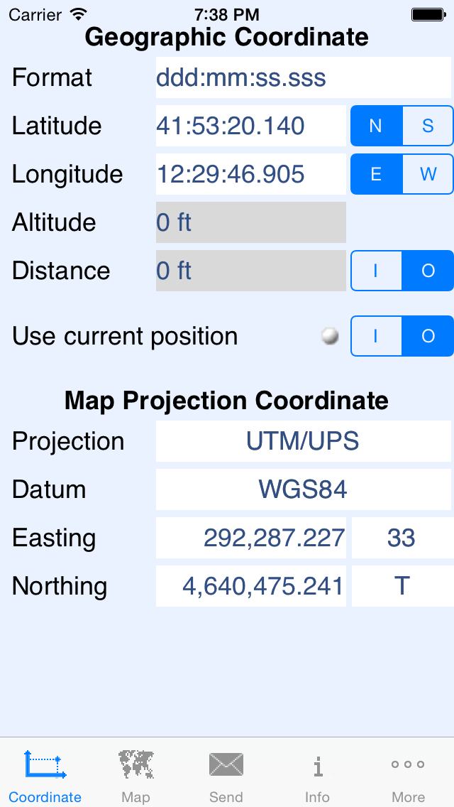
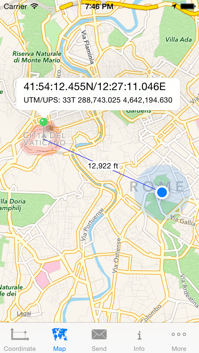
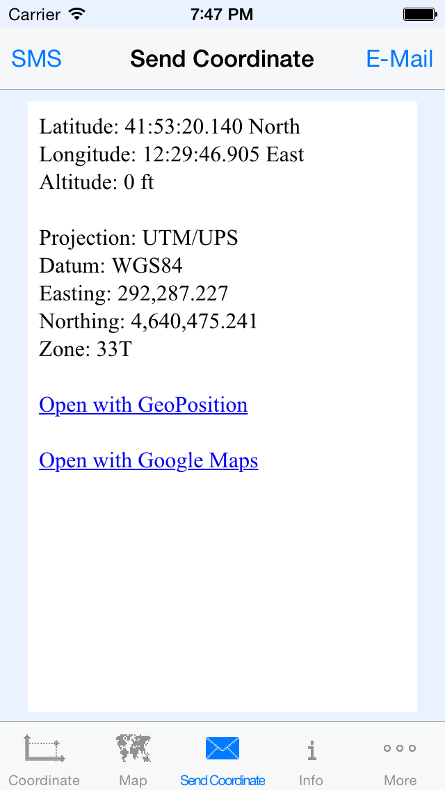
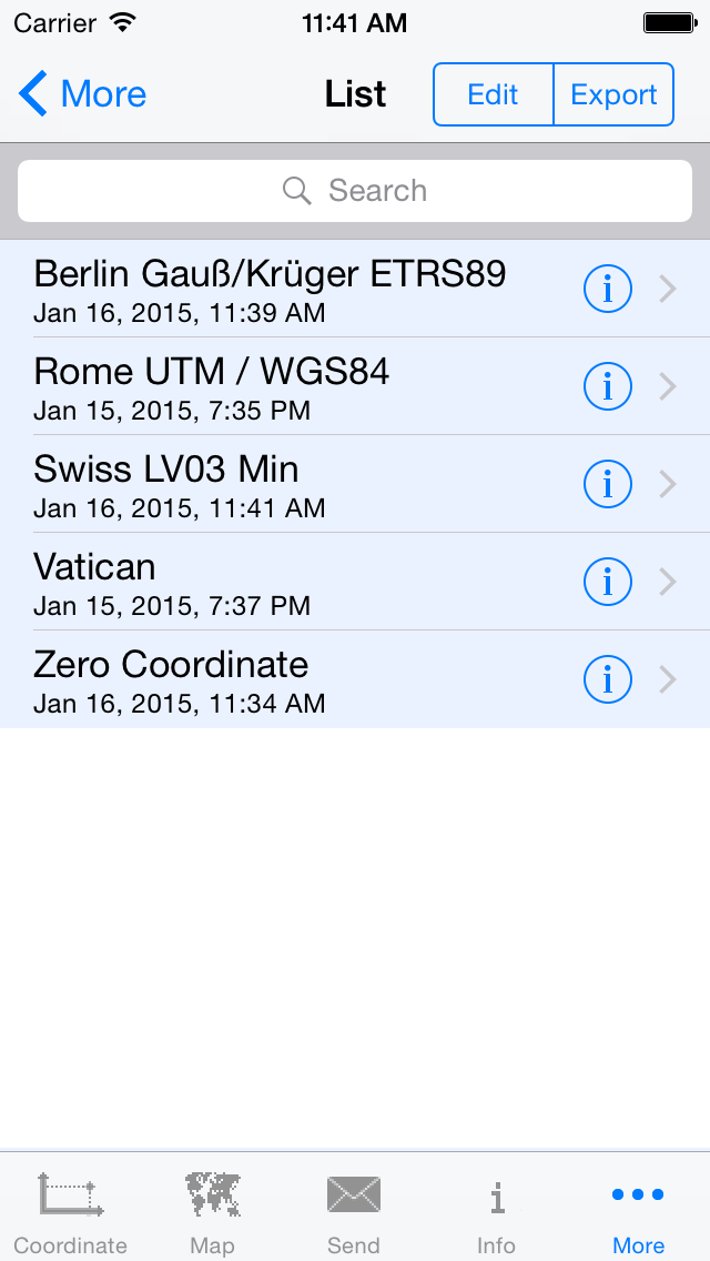
Convert GPS coordinates to map coordinates in a twinkling Never get lost again! With GeoPosition you know always exactly where you are. Within a second you convert GPS coordinates received by your iPhone to popular map projection coordinate systems like UTM/UPS, Mercator, Gauss/Krüger, MGRS, GGRS87, LUREF, Swiss Grid CH1903+/LV95, CH1903/LV03-M and vice versa. GeoPostion supports in addition to the reference datum WGS84 more than 280 map datums. So you determine exactly your current position on a map. GeoPosition is most helpful for private usage (hiking, biking, traveling) as well as for professional application types (fire brigade, rescue service). With this professional tool you get 100% exact results without much effort and you easily find your way. With the additional features like sending the coordinates via E-Mail or SMS you may arrange meetings with your friends or call for help in emergencies. The App provides the following features: • Conversion from geographic coordinates to map projection coordinates and vice versa • Display and conversion of the current location received by the location service of the device • Display the coordinate on Google Maps view • Entering the coordinate by moving the pin on the Google Maps view • Sending the coordinate via E-Mail or SMS. • When the coordinate is received via E-Mail, GeoPosition or Google Maps may be started tapping on the embedded link in the E-Mail
What's new · 2.0
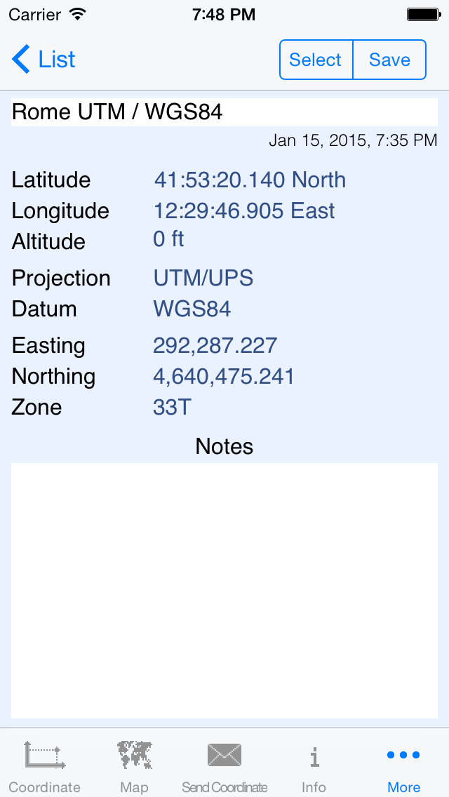
This update from Apple will improve the functionality of this app. No new features are included. • New projection systems "Greek Geodetic Reference System 1987" (GGRS87) and "Luxembourg Reference Frame" (LUREF) • New datums LURES (Luxembourg Reference System) and ETRS89 • Altitude, horizontal and vertical accuracy are displayed when the coordinate is received from the location service • Distance calculation between the entered coordinate and the current position; the distance is also shown as line on the map view • Coordinates can be saved with a note and exported to a CSV file • Datum search • Link in SMS can be used to start GeoPosition or Google Maps with the coordinate • IOS7 user interface
Details