

WeatherLCD
homedatasheet.com, Inc. · Weather
Independent analytics for this App Store listing. AppTracker is not affiliated with homedatasheet.com, Inc.
Chart standing · US
What changed · US
Listing changes AppTracker has observed for this app in this storefront — new versions, price moves, rating shifts, and store copy.
Ratings breakdown · US
The star breakdown behind this app's rating in this storefront.
In-app purchases · US
No in-app purchases.
Screenshots
Keywords this app targets
Search terms AppTracker associates with this app — estimates, not search volume. ❝ = in the app's title; a highlighted number is its current position for that term.
Similar apps
Competitors and close alternatives, as estimated by AppTracker.
 EverythingWeather
Cory Mottice
2 shared topics
EverythingWeather
Cory Mottice
2 shared topics
 Windy.com
Windyty, SE
3 shared topics
Windy.com
Windyty, SE
3 shared topics
 WillyWeather
 (AU) Pty Ltd
2 shared topics
WillyWeather
WillyWeather (AU) Pty Ltd
2 shared topics
 Weather Mate Pro - Forecast
DylogicApps Pvt Ltd
2 shared topics
Weather Mate Pro - Forecast
DylogicApps Pvt Ltd
2 shared topics
 Weather4D Lite
APP4NAV
2 shared topics
Weather4D Lite
APP4NAV
2 shared topics
 Great Lakes Boating Weather
LW Brands, LLC
2 shared topics
Great Lakes Boating Weather
LW Brands, LLC
2 shared topics
 RainAware
 LLC
1 shared topic
RainAware
RainAware LLC
1 shared topic
 Ventusky: Weather Forecast
Ventusky s.r.o.
2 shared topics
Ventusky: Weather Forecast
Ventusky s.r.o.
2 shared topics
About
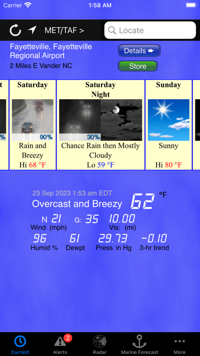
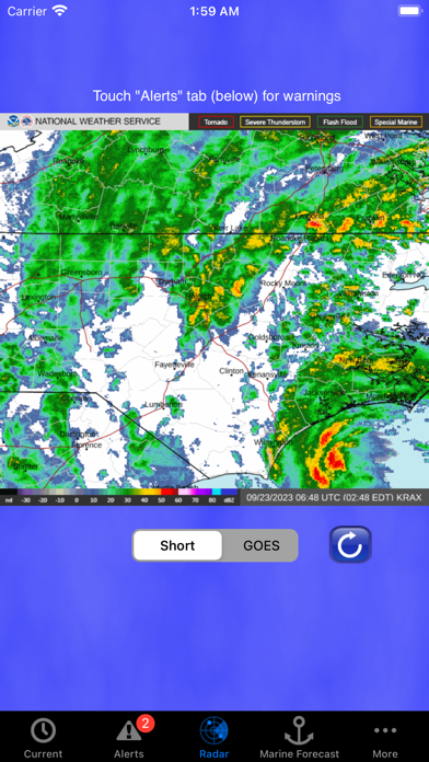
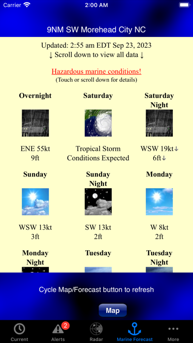
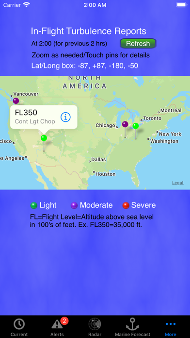
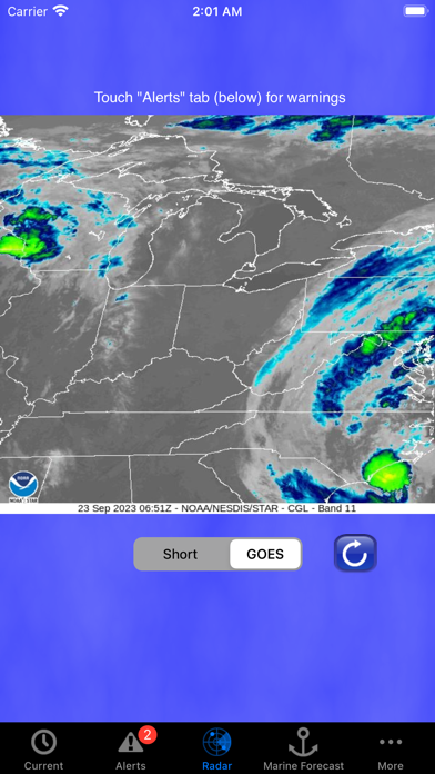
Why pay for multiple apps that provide U.S. current conditions, forecasts, and radar, plus marine weather, when you can get it all and much more with WeatherLCD! On land: - Current U.S. weather conditions - Wind Chill/Heat Index - Dewpoint - 3-hour pressure trend - Decoded METARs & TAF data (where available) - Forecasts (including hourly forecasts and snow accumulation forecasts) - In-depth technical discussions - Alerts (including high surf & rip current) - Animated radar (short-range and Regional GOES-16/17) - City/Zip Code search - Map-based Search - Network/GPS location - Metric conversion (except alerts, snow accumulation, and discussion) Alaska weather note: Some Alaska weather data is experimental and may not be available in all areas at all times. On the water: - Buoy observations - Detailed wind, wave, and other marine condition predictions for the U.S. Pacific Atlantic, and Gulf Coasts, plus Alaskan waters and U.S. portions of the Great Lakes, Puerto Rico/U.S. Virgin Islands, and Guam/N. Mariana Islands. - Area forecasts farther off shore - Hazardous marine condition bulletins/warnings - Swell height/period for Pacific locations - Text forecasts for Lake Champlain & Lake Tahoe - Metric conversion (except alerts) In the air: - Interactive global air turbulence map primarily based on pilot reports (PIREPS) - Color-coded pins make it easy to grasp turbulence severity - Touch any pin to get details such as reported turbulence altitude range, frequency, and type (chop, clear air turbulence, low-level wind shear, or mountain wave) if reported - Determines aircraft type or airline associated with report, and links to Wikipedia articles. (Note to non-US customers: the vast majority of turbulence reports displayed by WeatherLCD are from the US (incl. AK & air routes to HI) and Canada. A few times a day there are reports from the North Atlantic, Western Pacific, and Caribbean. It is very rare to see data points in other than the aforementioned locations.) All weather data presented by WeatherLCD and all graphics (with the exception of those in the bottom tab bar, the sky and water view backgrounds, and the maps) are from the National Weather Service and not subject to copyright protection. homedatasheet.com, Inc. is not affiliated with the National Weather Service. Disclaimer: WeatherLCD should never be your sole source of information for making personal safety or financial decisions. Aviation data presented by WeatherLCD is for information only and not to be used for flight safety or route planning purposes.
What's new · 25.0
Restores aircraft turbulence and METAR/TAF functionality
Details