

My India Map
Sohta Itoh · Travel
Independent analytics for this App Store listing. AppTracker is not affiliated with Sohta Itoh.
Chart standing · US
In-app purchases · US
No in-app purchases.
Screenshots
About
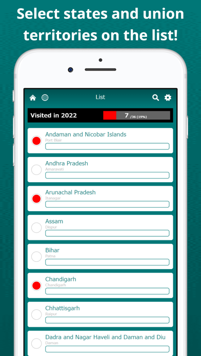
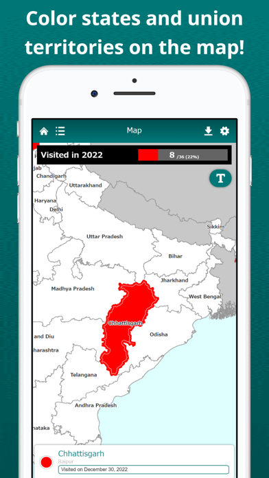
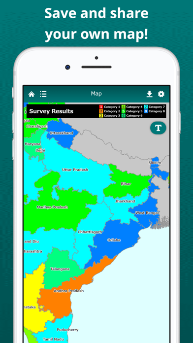
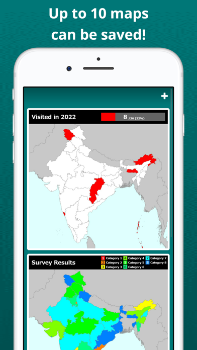
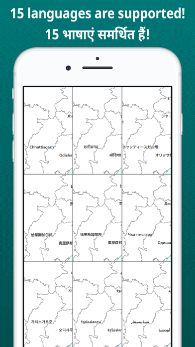
* Select states and union territories on the list! * Select the states and union territories you want to mark on the list. In multiple color mode, states and union territories can be painted in different colors for each category. You can save brief notes for each state or union territory. * Color states and union territories on the map! * Visualize the states and union territories you have visited on the India map. Tapping a state or union territory on the map, you can edit its color and note. By displaying the labels, you can easily locate states and union territories on the map. The map can be zoomed in and out. * Save and share your own map! * The map can be saved as a image in the device and shared through various social media, such as Instagram, Twitter, Facebook and LINE. You can also export data with codes in CSV format that can be analyzed in Excel or GIS. * Up to 10 maps can be saved! * You can save up to 10 maps for various uses. You can open and edit the map offline. * 15 languages are supported! * This app supports 15 languages: English, Arabic, Chinese (Simplified), Chinese (Traditional), French, German, Hindi, Italian, Japanese, Korean, Portuguese, Russian, Spanish, Thai and Vietnamese.
Details