

DroneDeploy Ground App
Infatics, Inc. · Business
Independent analytics for this App Store listing. AppTracker is not affiliated with Infatics, Inc.
Chart standing · US
What changed · US
Listing changes AppTracker has observed for this app in this storefront — new versions, price moves, rating shifts, and store copy.
- Added first-time guidance that walks you through capturing higher-quality 3D walks on Ground Pro - RTK connection status and settings are now available any time you're connected to an RTK device - Uploads recover more gracefully from an unstable connection - Fixed a bug where an in-progress walk upload could disappear from the queue - Removed the "new" badge from 3D Scan now that Ground Pro is officially launched
Price & rating history · US
Reconstructed from the listing changes AppTracker has observed in this storefront. A field is charted once it has changed more than once, and each line starts at the value it moved from.
Average rating · ★ 4.56 now · 3 changes on record
Ratings breakdown · US
The star breakdown behind this app's rating in this storefront.
In-app purchases · US
No in-app purchases.
Screenshots


About
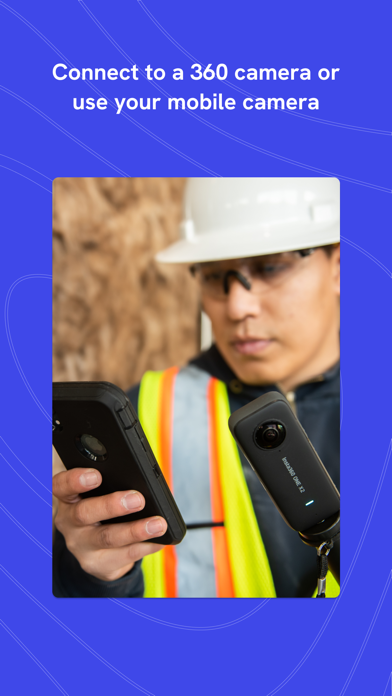
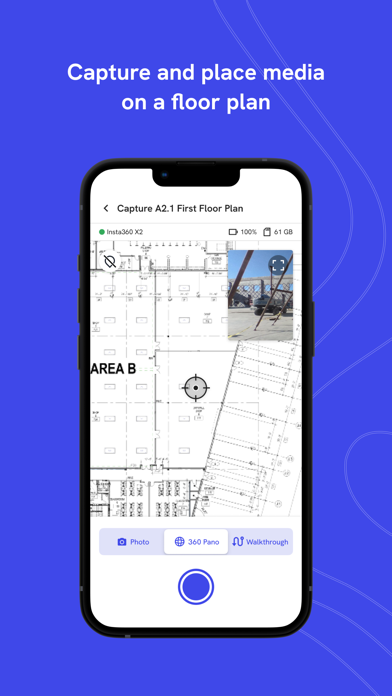
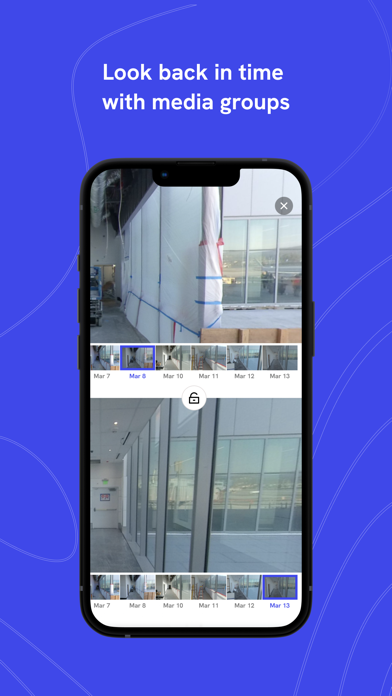
The DroneDeploy Ground app empowers businesses in construction, engineering, and other industrial sectors to efficiently document and manage ground-level data, providing a powerful complement to drone-based insights. DroneDeploy Ground is the next-generation ground capture app for project teams, including former StructionSite users. Note: This app is intended for enterprise users with an active DroneDeploy license. Simplify Ground-Level Data Capture in 3 Easy Steps: 1. Log in to your DroneDeploy account (trial or active license required). 2. Connect your 360 camera to capture 360° panoramas and 360° Walkthroughs, or use your device's camera to capture standard photos. 3. Sync your captures to the DroneDeploy platform for processing, sharing, and analysis. Once uploaded, your captures are processed and accessible through the DroneDeploy platform, where you can: • Collaborate with your team and stakeholders. • Inspect, compare, and annotate project data over time. • Integrate seamlessly with leading industry tools like Procore, Autodesk Build, and more. Supported Hardware: • Insta360 X5 • Insta360 X4 • Insta360 RS 1-inch • Ricoh Theta X • Ricoh Theta Z1 Visit our website for a complete list of supported hardware and to learn more about the DroneDeploy ecosystem. For Business and Professional Use: The DroneDeploy Ground app is a free companion tool for licensed DroneDeploy enterprise customers. A valid enterprise account is required for uploading and processing captures
What's new · 2.285.0
- Added first-time guidance that walks you through capturing higher-quality 3D walks on Ground Pro - RTK connection status and settings are now available any time you're connected to an RTK device - Uploads recover more gracefully from an unstable connection - Fixed a bug where an in-progress walk upload could disappear from the queue - Removed the "new" badge from 3D Scan now that Ground Pro is officially launched
Details