

AviNavi, navigation for pilots
Candidus LLC · Navigation
Independent analytics for this App Store listing. AppTracker is not affiliated with Candidus LLC.
Chart standing · US
Ratings breakdown · US
The star breakdown behind this app's rating in this storefront.
Screenshots




About
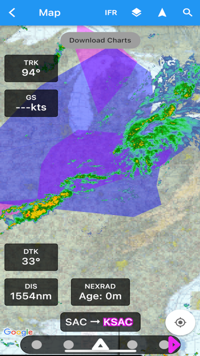
Aviation navigation made simple and affordable. Aviation map with airspace and TFR info, plus all VFR, low-altitude IFR and instrument approach charts for the continental United States, with full flight planning, including support for airway navigation and auto-routing. Overlays for Nexrad, Satellite, METARs and AIRMETS/SIGMETS improve flight safety, and detailed airport information (runways, frequencies, fuel, weather, NOTAMs) is at your fingertips. Use the moving map to search or select an airport, VOR, NDB or intersection and start direct-to navigation, or add to the flight plan. Alternatively enter the flight plan in text, e.g. KPAO SUNOL V334 SAC KSAC will load the full flight plan, including all airway navigation points. Instrument approach charts include the airport diagram, STARS, DPs and minimums, as well as the legend. Nearby airports are shown in green or red to indicate whether or not those airports are likely reachable in a no-wind glide. METAR, TAF, AIRMET, SIGMET, Prog charts, Convective Outlook and Wind are available as graphical and/or textual information. METARs and AIRMETS/SIGMETS can be overlayed on the map using the Layers button. Airport information shows METARs and TAFs in plain English, and Prog charts, Convective Outlook and Wind graphics for different times and altitudes are available as full screen graphics. AviNavi requires a monthly or annual subscription, following a free trial period. Terms of Use (EULA): https://www.apple.com/legal/internet-services/itunes/dev/stdeula/ Privacy Policy: https://www.bbflight.com/in-cockpit-apps-for-pilots/avinavi/privacy-policy-for-avinavi
What's new · 5.3.0
2 Map ruler tool to measure distance and bearing between points 2 Projected track vector showing anticipated flight path Runway crosswind visualizer and redesigned airport info tabs Reorderable flight plan editing with drag-and-drop and swipe-to-delete Quick Nearest (NRST) airport access with glide range indicators One-tap Day/Night mode toggle and night mode approach chart view Enlarged controls and swipeable panels designed for in-flight turbulence
Details