

3D GIS Digital Elevation Model
Andres Narvaez · Navigation
Independent analytics for this App Store listing. AppTracker is not affiliated with Andres Narvaez.
Chart standing · US
Screenshots
About
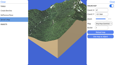
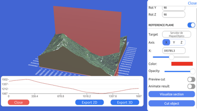
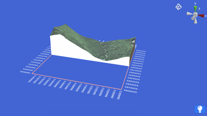
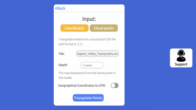
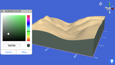
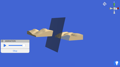
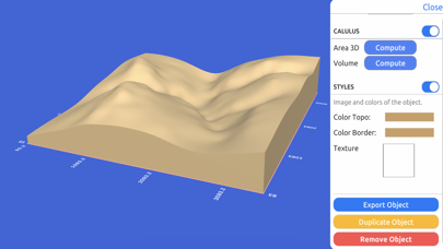
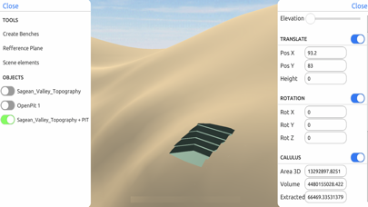
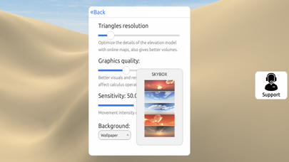
Quickly generate 3D models: Directly from the internet; Bing Maps, Mapbox, and ArcGIS or from a cloud point stored locally. Export real data: From point cloud data in CSV or TXT to 3D models in STL or OBJ and satellite images. Operate: Cut, re-scale, and animate models for representation, analysis, and calculations. Compute operations: Calculate surface areas and volumes of a model in real-world units with little difference compared to ArcGIS. Explore: Character controller geo positioned in real-world coordinate systems such as UTM and Geographic Coordinate System.
What's new · 1.1
Added Free Trial. Huge bug fixes.
Details