

Travel-IQ
IBI Group · Navigation
Independent analytics for this App Store listing. AppTracker is not affiliated with IBI Group.
Chart standing · US
In-app purchases · US
No in-app purchases.
Screenshots


About
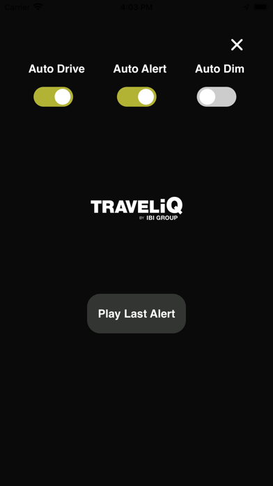
Our app technology has been in use for over a decade. Users receive unparalleled real-time traffic data from verified local agencies, as well as over 200 sources from across North America. Key app features include: o Real-time traveler Information o Turn by turn navigation o Incidents and closures, such as collisions and other road hazards o Traffic speeds o Construction, roadwork and closures o Cameras (still and streaming videos) o Road conditions o Border wait times o Cross-state and provincial boundary trip planning o Auto Drive mode, that automatically hides the map for improved safety, battery usage, and data consumption o Auto Alerts that play automatically and can be filtered by type
What's new · 1.4
General maintenance and bug fixes
Details