

Explo'r@de
bookBeo · Travel
Independent analytics for this App Store listing. AppTracker is not affiliated with bookBeo.
Chart standing · US
Screenshots


About
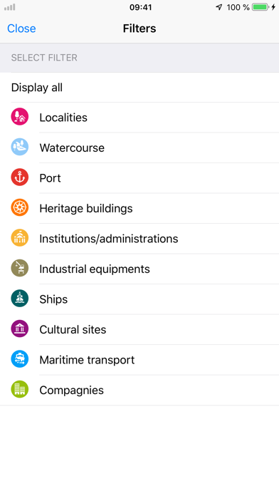
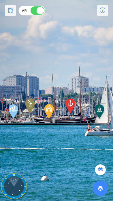
Whether from on board a boat or onshore, Explo'r@de identifies: - towns, villages and rivers - ports - heritage buildings, cultural sites and institutions - businesses - industrial facilities - boats - maritime transport links and geolocates them in your surroundings. Information bubbles pop up on the landscape to present more than 120 points of interest in words and images. A map and many web links are also provided. Once the application has been downloaded the main features are available offline. Created by the Espace des sciences/Maison de la Mer. Available to all
What's new · 2.2
New language: Breton!
Details