

MyTracks: GPS Recorder
CHENGDU MIAOZHI TECHNOLOGY CO., LTD. · Navigation
Independent analytics for this App Store listing. AppTracker is not affiliated with CHENGDU MIAOZHI TECHNOLOGY CO., LTD.
Chart standing · US
What changed · US
Listing changes AppTracker has observed for this app in this storefront — new versions, price moves, rating shifts, and store copy.
We update the app as often as possible to make it faster and more reliable for you.
Price & rating history · US
Reconstructed from the listing changes AppTracker has observed in this storefront. A field is charted once it has changed more than once, and each line starts at the value it moved from.
Average rating · ★ 4.58 now · 2 changes on record
Ratings breakdown · US
The star breakdown behind this app's rating in this storefront.
In-app purchases · US
What this app sells inside itself, grouped by kind and priced for this storefront.
Screenshots




About
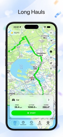
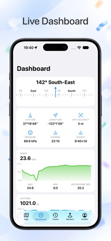
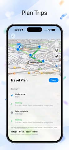
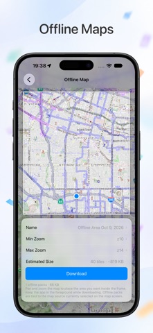
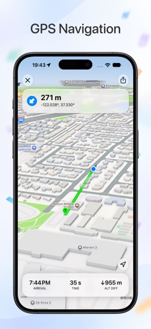
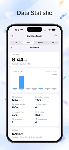
MyTracks – GPS Tracker, Route Recorder & Navigation Tool MyTracks is a professional GPS tracking app designed for hiking, running, walking, cycling, trekking, and outdoor navigation. It helps you accurately record routes, manage waypoints, and analyze location data using advanced GPS technology. Whether you are exploring trails, training outdoors, or recording travel routes, MyTracks provides precise tracking and reliable navigation support. Key Features 1. GPS Route Tracking: Record your GPS tracks in real time and display your route on an interactive map. Suitable for hiking, running, cycling, walking, trekking, and skiing. 2. Save Favorite Locations: Save important places as favorites or waypoints for quick access anytime. 3. Import and Export Data: Supports GPX, KML, KMZ, and CSV formats for easy data sharing, backup, and analysis. 4. High Accuracy GPS Tools: Improve waypoint accuracy using static GPS observations for more precise tracking results. 5. Compass Navigation: Built-in compass provides waypoint direction guidance for easy navigation to selected locations. 6. Waypoint Management: Add custom waypoints manually or import from saved locations. Supports vector input using angle and distance. 7. Coordinate Conversion: Convert between Decimal, DMS, MGRS, and UTM coordinate formats instantly for mapping and field use. 8. Advanced Mapping Features: Includes MGRS grid overlay, route planning before tracking, and full track replay with detailed history. 9. Detailed Track Analytics: View distance, speed, elevation, and route statistics. Customize track colors for better visualization. Important Notice: Continuous GPS usage in the background may significantly reduce battery life. For feedback or questions, contact: miaozhi.ai@gmail.com
What's new · 8.0
We update the app as often as possible to make it faster and more reliable for you.
Details