

ArcGIS QuickCapture
ESRI · Utilities
Independent analytics for this App Store listing. AppTracker is not affiliated with ESRI.
Chart standing · US
Ratings breakdown · US
The star breakdown behind this app's rating in this storefront.
In-app purchases · US
No in-app purchases.
Screenshots



About
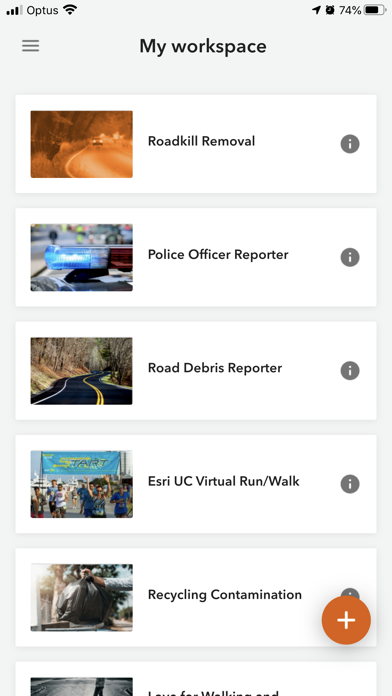
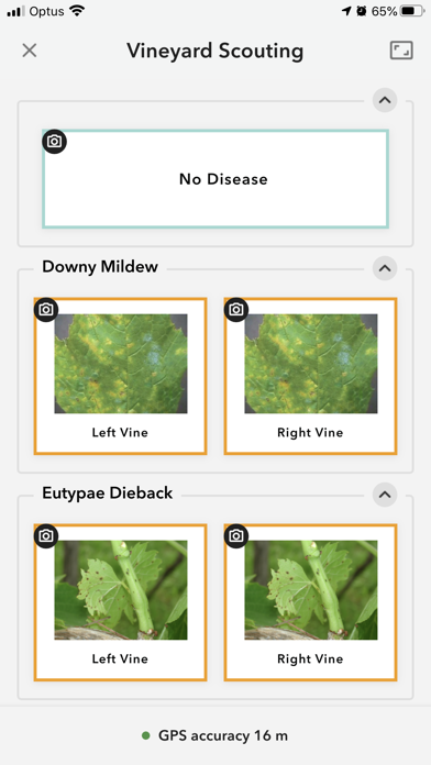
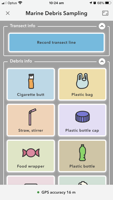
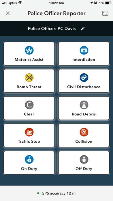
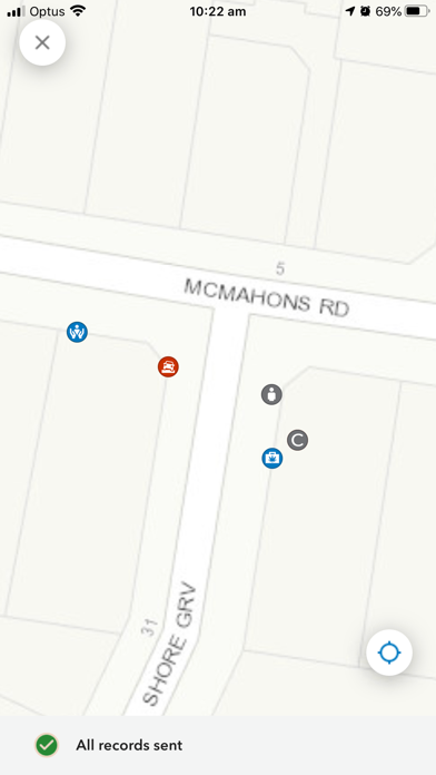
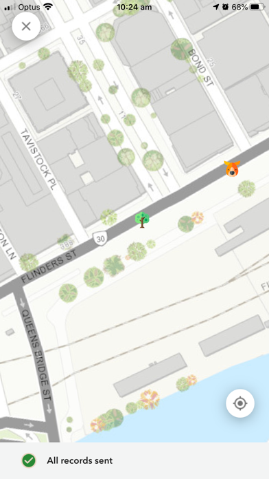
ArcGIS QuickCapture is the fastest way to collect field observations. With this time-saving app, you can record GIS points and other attributes while you scout locations, conduct aerial surveys, or assess damage from a moving vehicle. Capture data at-speed with the touch of a button.
What's new · 1.25.16
• A bug was fixed in which records could not be sent to ArcGIS Enterprise because of duplicate records. • A bug was fixed in which records could not be sent to layers that did not have attachments enabled. • A bug was in fixed in which background location updates were suspended while the camera preview was open.
Details