

आसरा (AASRA)
NATIONAL INFORMATICS CENTRE · Navigation
Free
Independent analytics for this App Store listing. AppTracker is not affiliated with NATIONAL INFORMATICS CENTRE.
Chart standing · US
Not currently charting in this storefront.
In-app purchases · US
No in-app purchases.
Screenshots



About
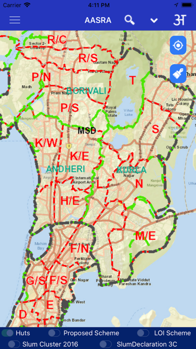
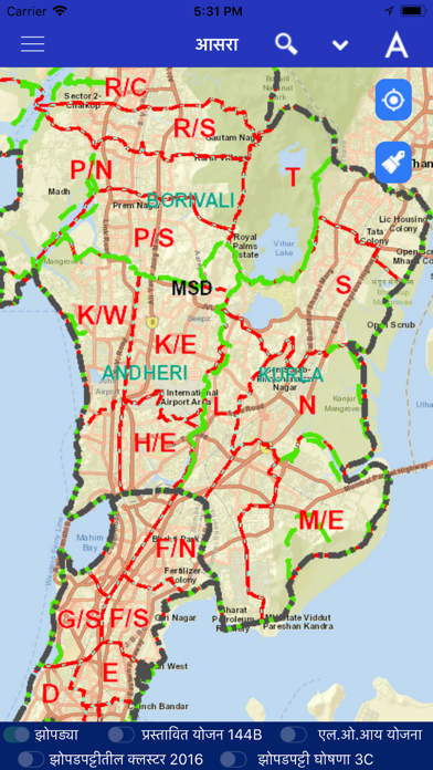
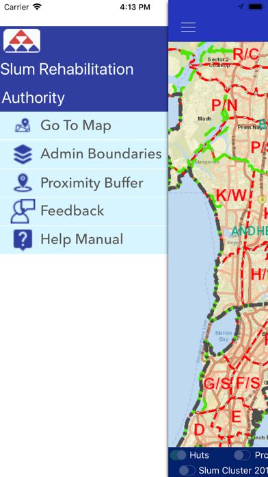
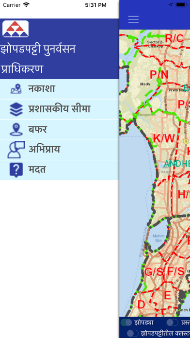
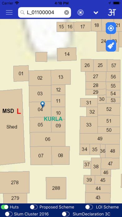
To provide citizen centric information of SR schemes on mobile, based on user location where GIS data for slums spread over entire Mumbai Municipal Corporation area has been created.This encompasses layers containing boundaries of District,Taluka,Ward,Village,Slum Cluster,SR Schemes,Huts,etc. This GIS Mobile App is developed with the support of Utility Mapping Division of NIC,New Delhi
What's new · 3.2
Updated new SRA secure map services
Details
DeveloperNATIONAL INFORMATICS CENTRE
ReleasedDec 2018
UpdatedNov 2021
Version3.2
Size37.4 MB
RequiresiOS 9.1 or later
Age rating4+
LanguagesEnglish, French, German, Marathi
PriceFree
Categories
Bundle IDcom.appcoda.AASRAios