

GR20
Jorge Rodriguez-Flores Esparza · Navigation
Independent analytics for this App Store listing. AppTracker is not affiliated with Jorge Rodriguez-Flores Esparza.
Chart standing · US
In-app purchases · US
No in-app purchases.
Screenshots



Keywords this app targets
Search terms AppTracker associates with this app — estimates, not search volume. ❝ = in the app's title; a highlighted number is its current position for that term.
Similar apps
Competitors and close alternatives, as estimated by AppTracker.
 GR 20 - Corsica
Bad Rhino ApS
GR 20 - Corsica
Bad Rhino ApS
 Corsica mountains AR
Jerome Goursau
1 shared topic
Corsica mountains AR
Jerome Goursau
1 shared topic
 HexaTrek : Thru Hike France
Kevin Ginisty
1 shared topic
HexaTrek : Thru Hike France
Kevin Ginisty
1 shared topic
 GR 221 - Mallorca
Bad Rhino ApS
GR 221 - Mallorca
Bad Rhino ApS
 MaRando – FFRandonnée
FEDE FRANC RANDONNE PEDESTRE
1 shared topic
MaRando – FFRandonnée
FEDE FRANC RANDONNE PEDESTRE
1 shared topic
 Flaine Carroz 2ccam Outdoor
Yoomigo
1 shared topic
Flaine Carroz 2ccam Outdoor
Yoomigo
1 shared topic
 SAC – Swiss Alpine Club
Schweizer Alpen-Club SAC
2 shared topics
SAC – Swiss Alpine Club
Schweizer Alpen-Club SAC
2 shared topics
 Corsica Offline
Joerg Holz
1 shared topic
Corsica Offline
Joerg Holz
1 shared topic
About
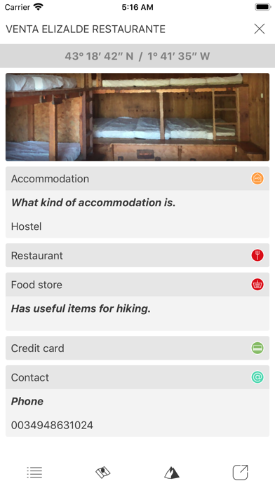
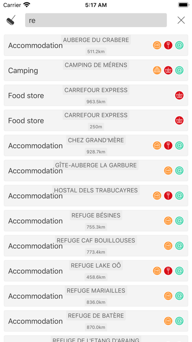
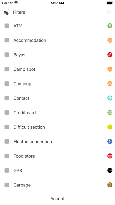
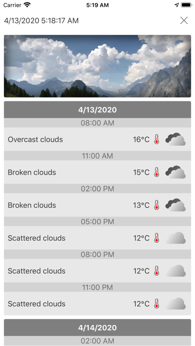
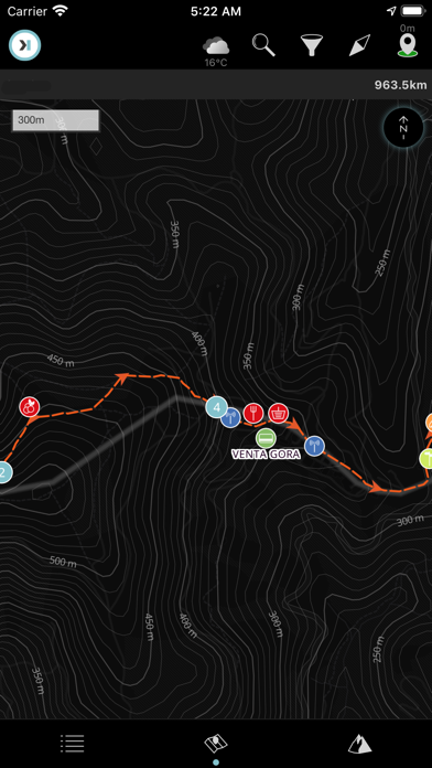
GR20 is a long-distance route located on the island of Corsica (France), in the middle of the Mediterranean. The recommended route takes us from Conca in the south-east of the island to Calenzana in the north-west. The route is perfectly signposted with the marks of the long distance paths, two stripes, one white and the other red. Along the route there are mountain refuges guarded that offer anything necessary but due to the massive influx in the summer months it is necessary to make a reservation. The path, despite being situated on a Mediterranean island, runs through surprising alpine landscapes creating a magical mixture. "Digital Hiking Guide" is the proposal of **HIKEORAMA** as an assistant in long distance routes. It includes in a single application all the necessary information in your routes. Maps, meteorology and information of all the points that you will find along the way. All this presented in the most accessible possible way. It will allow you to position yourself on the route and will help you to take better decisions. Summary: Accommodation 21 Camp spot 125 Camping 2 Contact 21 Credit card 1 Difficult section 6 Food store 12 Garbage 3 Hut 2 Mountain pass 12 Natural pool 9 Natural shelter 16 Phone signal 7 Post office 2 Public transport 1 Restaurant 15 Sign post 4 Source 19 Stream 98 Toilet 3 Tourism office 1
What's new · 3
This build is missing export compliance information.
Details