

WinGPS Marine
Stentec Software B.V. · Navigation
Independent analytics for this App Store listing. AppTracker is not affiliated with Stentec Software B.V.
Chart standing · US
Ratings breakdown · US
The star breakdown behind this app's rating in this storefront.
Screenshots
About
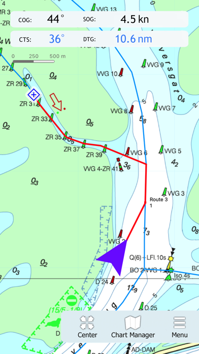
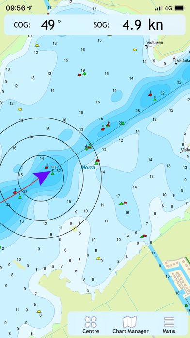
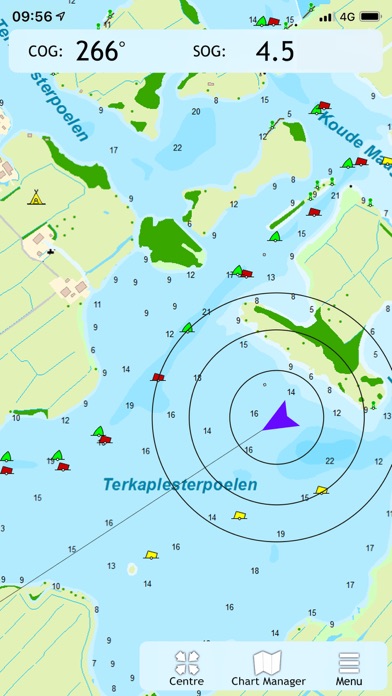
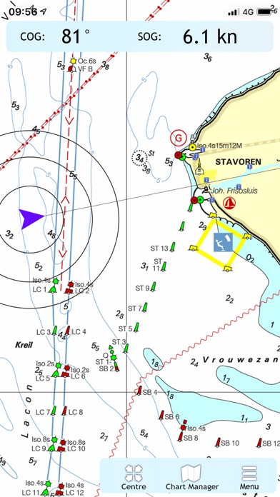
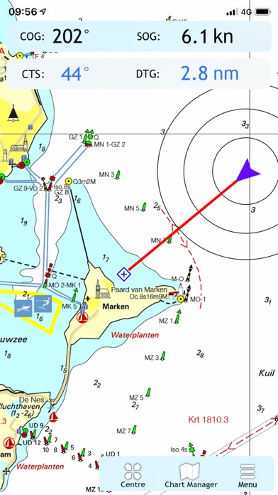
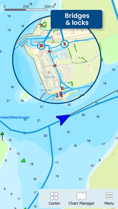
Ideal for navigation onboard of your sailing yacht, motorship, canoe or longboat: - Always know where you are, how fast you go and what your course is using a GPS receiver (internal or Bluetooth). - Download the chart of your sailing area and check the current depths, buoys and other nautical information. - Place a navigation waypoint and sail to your destination using the course line, Course to Go and Distance to Go. - Waterway network: View the information of the bridges, locks and waterways. - View your sailed track on the chart. - Show the distance circles around your GPS position. At the first start-up of the app, you will be asked to log in with your account. The free default online charts from Apple are available in the app for orientation. The DKW-charts of 2018 and newer, which are connected to your account, can be downloaded directly in this app and be used for navigation.
What's new · 1.41
- Support for Geo Ads
Details