

Tokyo Subway 3D Map
Geoffrey Domm · Education
Free
Independent analytics for this App Store listing. AppTracker is not affiliated with Geoffrey Domm.
Chart standing · US
Not currently charting in this storefront.
In-app purchases · US
No in-app purchases.
Screenshots


About
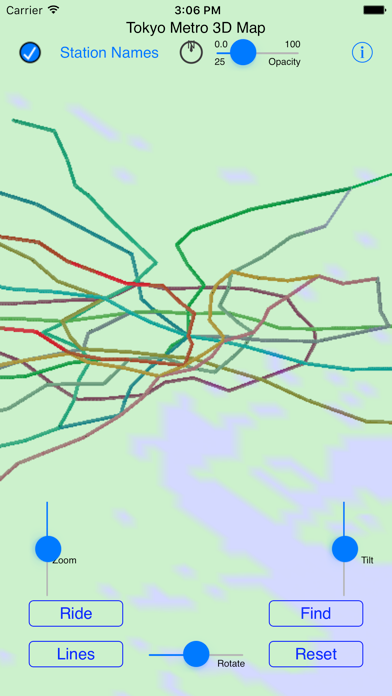
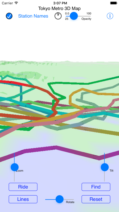
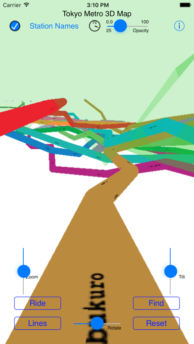
This is a 3D Map of the Tokyo Metro and Toei Subway systems using actual ground elevations, track depths and station locations. The map can be manipulated by standard iOS gestures to zoom, pan, rotate and tilt the map. You can take a simulated ride on any of the system's lines, or choose a start and end station and ride on a calculated route between the two stations.
What's new · 3.0
Updated to iOS15
Details
DeveloperGeoffrey Domm
ReleasedJun 2017
UpdatedApr 2022
Version3.0
Size7.3 MB
RequiresiOS 15.2 or later
Age rating4+
LanguagesEnglish
PriceFree
Categories
Bundle IDcom.gsdomm.TokyoSubway