

Zürich Offline Map
M23 Solutions GmbH · Travel
Independent analytics for this App Store listing. AppTracker is not affiliated with M23 Solutions GmbH.
Chart standing · US
In-app purchases · US
No in-app purchases.
Screenshots

About
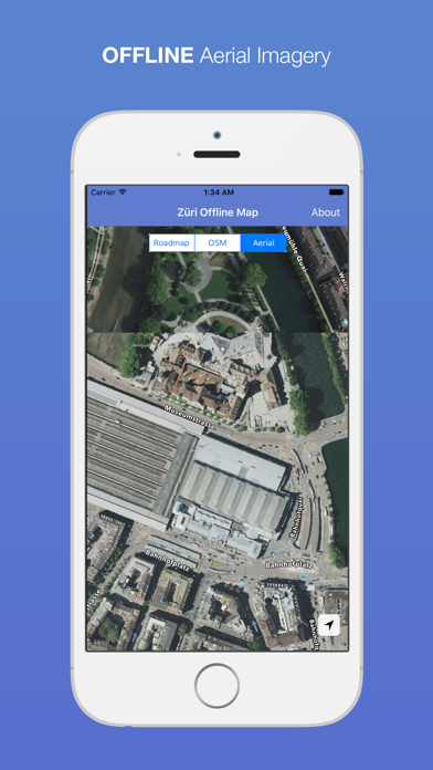
The perfect travel companion for your trip in Zürich! You can use this app OFFLINE, no data connection is needed Map layers: - Roadmap tiles from Open Street Map: http://www.openstreetmap.org - Aerial Imagery from @GISZentrumZH: https://opendata.swiss/en/dataset/wms-orthofoto-zh Credits for the background image used in the app icon: https://commons.wikimedia.org/wiki/File:Zürich.jpg This app is designed and engineered by: Vasile Coțovanu http://www.vasile.ch
What's new · 1.05
This update from Apple will improve the functionality of this app. No new features are included. Thank you for using this application! Please don't forget to support this app by leaving ratings, sharing it or just sending me any feedback you might have. What's new in version 1.0.5: - The app uses newest orthophotos (2015-2016) from GISZentrumZH - http://maps.zh.ch/?topic=OrthoZH
Details